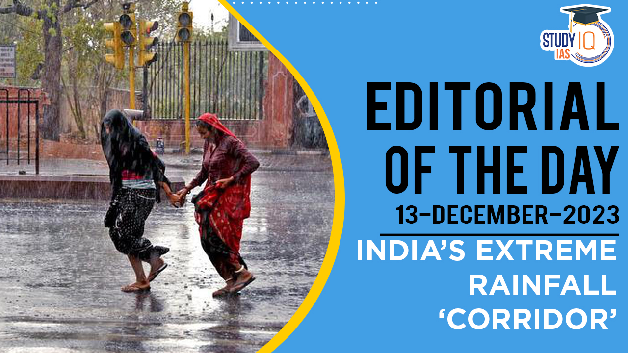
Context: A new study has revealed a remarkable “highway” across India where large-scale extreme rainfall events occur simultaneously or near-simultaneously.
About the Study on India’s Extreme Rainfall Corridor
Background
- The Indian monsoon, characterised by its onset, withdrawal, and active and break periods, is significantly impacted by global warming.
- Seasonal rainfall has decreased over the past 70 years due to differential heating of land and ocean. However, this decrease is uneven, with longer dry spells and more intense wet spells.
- While forecasting improvements have been made, predicting heavy rain events remains challenging.
We’re now on WhatsApp. Click to Join
Monsoon Forecasting Challenges and Developments
- India’s monsoon forecasting heavily depends on the El Niño and La Niña phenomena, but this relationship is only accurate about 60% of the time.
- Researchers continue to explore additional factors and processes, especially for predicting high-impact extreme rainfall events.
Discovery of the Rainfall ‘Highway’
- A significant finding of a recent study is the identification of a ‘highway’ for large-scale extreme rainfall events, stretching from parts of West Bengal and Odisha to parts of Gujarat and Rajasthan.
- Remarkably, this corridor has been consistent from 1901 to 2019, offering new insights for improving monsoon predictions despite the changes in monsoon dynamics.
Implications for Monsoon Stability
- Sophisticated network analysis of rainfall data shows that the most active nodes of rainfall have consistently followed this ‘highway’ for over a century.
- The study uses a ‘popcorn and kettle’ analogy to describe the monsoon: Central India (the kettle) heats up, causing monsoon systems (popcorn) to ‘pop’ in a synchronised manner along this corridor.
Forecasting and Risk Reduction
- The findings challenge the belief that stationary elements in climate systems have been disrupted by global warming, as the monsoon shows a remarkable ability to synchronise heavy rain events along this unchanged corridor.
- This corridor is also the path for monsoon depressions, with frequency changes noted in their occurrences.
- The main hypothesis for this geographical trapping of rainfall is the mountain ranges along the west coast and across Central India.
- These insights suggest that improving forecasts may not require higher resolution models or more computational resources, but rather a focus on the dynamics of synchronisation.
- This understanding holds the potential to significantly reduce risks associated with large-scale rainfall events in sectors like agriculture, water, energy, transportation, and health.
- India’s strong position in modelling capacity and computational resources is seen as an advantage in harnessing these insights for better forecasting and risk management.


 Pahalgam Terror Attack: All Eyes on Paha...
 Serious Fraud Investigation Office (SFIO...
 Article 142 of Indian Constitution, Sign...


