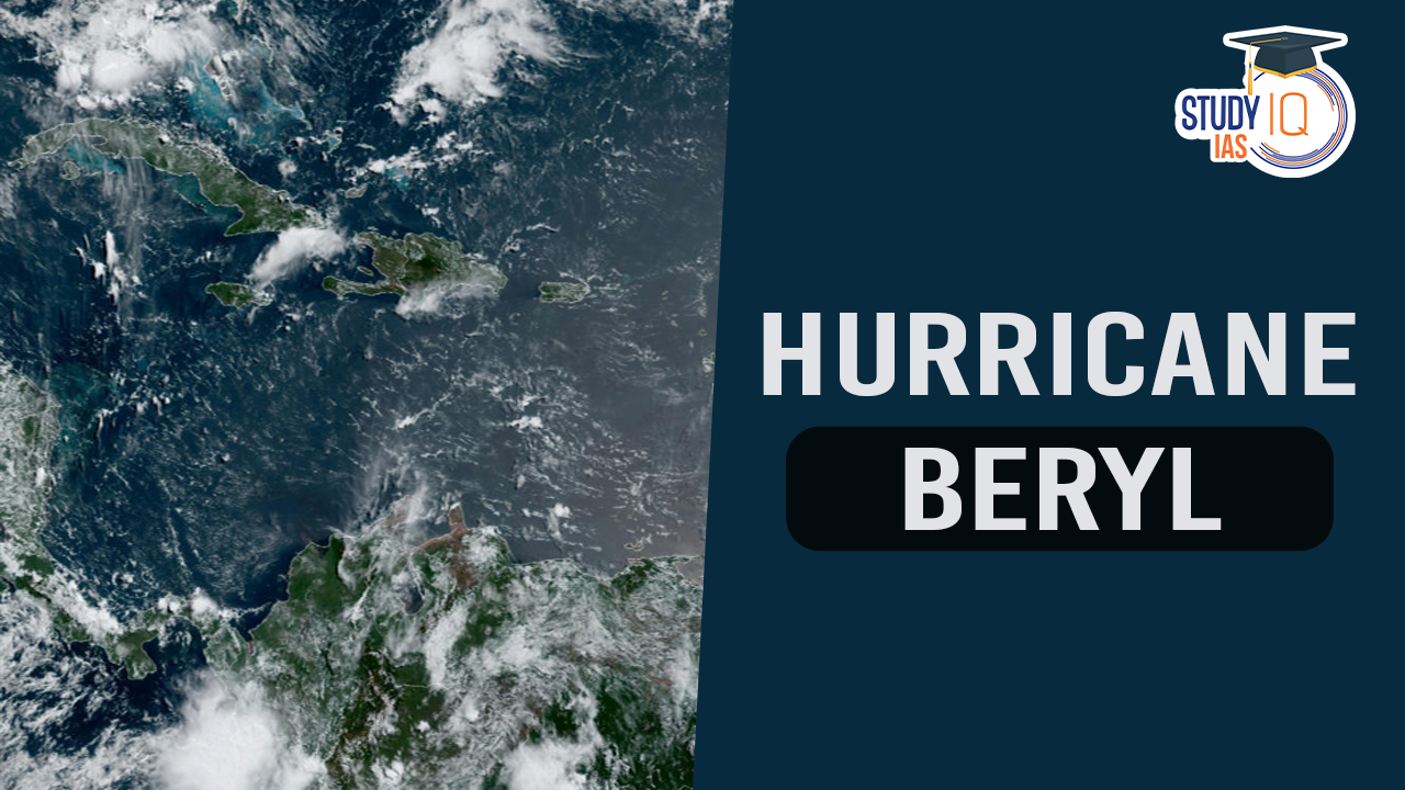
Hurricane Beryl is a powerful and dangerous tropical cyclone threatening the Windward Islands and is the earliest-forming Category 4 Atlantic hurricane on record in a season. Check Out Tropical Cyclone Hurricane Beryl’s formation, Progression, and Impact in this Article.
Tropical Cyclone Hurricane Beryl
Hurricane Beryl has rapidly evolved into a menacing Category 4 storm, posing a significant threat to the Caribbean islands. With wind speeds reaching up to 130 mph (209 km/h), it has intensified swiftly, prompting concerns of “potentially catastrophic” damage as it barrels towards the Windward Islands.
|
Hurricane Beryl Overview |
| Category |
Category 4 |
| Wind Speed |
Up to 130 mph (209 km/h) |
| Formation |
Early in the Atlantic hurricane season, developed between the Caribbean and Cabo Verde Islands |
| Intensification |
Rapid, increased by 50 mph in 24 hours |
| Projected Path |
Westward towards Windward Islands (Barbados, St. Vincent and the Grenadines, Grenada); potential impact on Haiti, Jamaica, and the Cayman Islands |
| Impacts |
- “Potentially catastrophic” wind damage
- Life-threatening storm surges (6 to 9 feet above normal tide levels)
|
| Regional Concerns |
Possible threats to US offshore oil and gas operations in the Gulf of Mexico; vigilance for potential impacts in Mexico |
Hurricane Beryl Formation and Progression
Forming unusually early in the Atlantic hurricane season, Beryl’s development in late June defies the typical seasonal patterns. Situated between the Caribbean and the Cabo Verde Islands, this storm has capitalized on exceptionally warm waters and favorable atmospheric conditions, accelerating its growth to Category 4 status. This rapid intensification, characterized by a 50 mph increase in wind speed within 24 hours, underscores the unpredictability and severity of Beryl’s impact.
-
Formed on June 28, 2024, in the Main Development Region to the west of Cabo Verde
-
Moved through the central Atlantic Ocean while rapidly intensifying
-
Strengthened into Tropical Storm Beryl six hours after formation
-
Intensified into a hurricane on June 29
-
Became a major hurricane on June 30
-
Weakened back into a Category 3 hurricane later that day due to an eyewall replacement cycle
Hurricane Beryl: Projected Path
As of the latest forecasts, Hurricane Beryl is set to traverse westward, directly impacting islands such as Barbados, St. Vincent and the Grenadines, and Grenada. The National Hurricane Center has issued warnings of life-threatening storm surges, anticipated to raise water levels between 6 to 9 feet above normal tides, particularly where the eye of the storm makes landfall. These conditions are expected to bring extensive wind damage, potentially devastating coastal communities and infrastructure.
Impact of Hurricane Beryl
The impact of Hurricane Beryl is expected to be significant and potentially devastating, particularly for the Caribbean islands in its path. Here’s a detailed look at the potential impacts:
Impact Areas
Hurricane Beryl is forecasted to affect primarily the following regions:
- Windward Islands: Including Barbados, St. Vincent and the Grenadines, and Grenada, where the storm’s core is expected to cause severe wind damage.
- Surrounding Caribbean Islands: Haiti, Jamaica, and the Cayman Islands are also at risk of experiencing adverse weather conditions, including heavy rainfall, strong winds, and storm surges.
Potential Effects
- Wind Damage:
- Beryl’s Category 4 status means it can produce sustained winds up to 130 mph (209 km/h), capable of causing extensive damage to infrastructure, homes, and vegetation. Areas within the eyewall, where the strongest winds are concentrated, face the highest risk.
- Storm Surges:
- The storm surge, forecasted to reach between 6 to 9 feet above normal tide levels, poses a significant threat to coastal communities. This can result in coastal flooding, erosion, and inundation of low-lying areas, potentially displacing residents and causing property damage.
- Heavy Rainfall and Flooding:
- Hurricane Beryl is likely to bring torrential rainfall, leading to flash floods and mudslides in mountainous regions. These conditions can disrupt transportation, compromise infrastructure, and pose risks to lives and livelihoods.
- Disruption to Services:
- Power outages, interruptions in communication networks, and damage to water and sanitation systems are anticipated due to the storm’s impact, exacerbating challenges in emergency response and recovery efforts.
Preparedness and Response
- Evacuation and Sheltering: Authorities have issued evacuation orders for vulnerable areas, urging residents to seek shelter in designated safe locations.
- Emergency Services: Preparations include positioning emergency response teams, supplies, and equipment in strategic locations to facilitate swift post-storm assistance.
- Community Readiness: Residents are encouraged to secure property, stock essential supplies, and stay informed through official communication channels to mitigate risks and ensure personal safety.
Hurricane Beryl UPSC
Hurricane Beryl’s intensification and projected path highlight the critical need for proactive disaster preparedness and response measures. The storm’s potential impact on the Caribbean underscores the importance of timely warnings, coordinated efforts among agencies, and community resilience in facing natural disasters of this magnitude.
Sharing is caring!


 Securities Markets Code Bill 2025: Towar...
 Weakly Interacting Massive Particles (WI...
 India–Oman Trade Deal: CEPA Signed to ...


