Table of Contents
Fujiwhara Effect Latest News
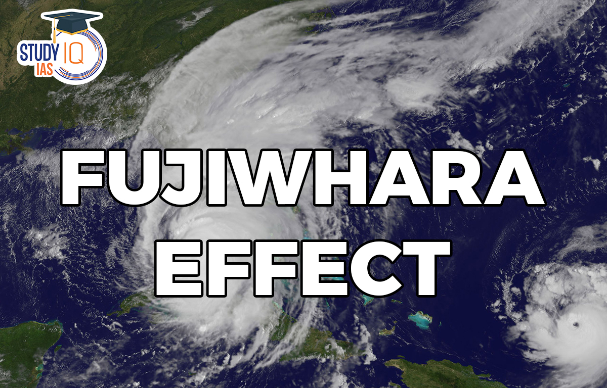
On September 1, 2022, super typhoon Hinnamnor, the strongest tropical cyclone of the year, was hurtling towards Taiwan from the western Pacific Ocean. Another tropical storm called Gardo was moving towards Hinnamnor from its southeast. As the two approached each other, they started a dance around the central line between them, showcasing a textbook example of what is known as the Fujiwhara Effect. After the dance, which lasted over a day, Hinnamnor devoured Gardo and eventually made landfall in South Korea.
What is the Fujiwhara Effect
- The Fujiwhara Effect is any interaction between tropical storms formed around the same time in the same ocean region with their centres or eyes at a distance of less than 1,400 km, with intensity that could vary between a depression (wind speed under 63 km per hour) and a super typhoon (wind speed over 209 km per hour).
- Fujiwhara Effect Impacts:
- The interaction could lead to changes in the track and intensity of either or both storms systems.
- The effect makes cyclones more unpredictable due to their rapid intensification and change of track, which may lead to large-scale devastation.
- In rare cases, the two systems could merge, especially when they are of similar size and intensity, to form a bigger storm.
- Five different ways in which Fujiwhara Effect can take place:
- Elastic Interaction (EI): In this interaction, only the direction of motion of the storms changes and is the most common case. These are also the cases that are difficult to assess and need closer examination.
- Partial Straining Out (PSO): In this interaction, a part of the smaller storm is lost to the atmosphere.
- Complete Straining Out (CSO): In this interaction, the smaller storm is completely lost to the atmosphere and the straining out does not happen for storms of equal strength.
- Partial Merger (PM): In this interaction, the smaller storm merges partially into the bigger one.
- Complete Merger (CM): In this interaction, complete merger takes place between two storms of similar strength.
The Fujiwhara Effect and Climate Change
- Possibility of Mega Cyclones: In an increasingly warming world, a merger between two large tropical cyclones over any of the global oceans could lead to the formation of a mega cyclone, causing devastation along coast-lines.
- Increased Frequency: In recent years, several storms have come close to undergoing the Fujiwhara Effect. For example:
- Just a week after Hinnamnor engulfed Gardo, two hurricanes—Danielle and Earl—formed one after the other in the North Atlantic Ocean, sparking fears of the Fujiwhara Effect.
- In April 2021, a similar event happened in the Indian Ocean, when cyclone Seroja interacted with cyclone Odette just off the coast of Western Australia.
- In 2020 hurricanes Marco and Laura had formed back to back in the small region of Gulf of Mexico and created a possibility of the Fujiwhara Effect.
- According to a research, just between 2013 and 2017 there were 10 cases of the Fujiwhara Effect, mostly weak interactions, in northwest Pacific Ocean.
Way Forward
- The Fujiwhara Effect Highlights the need for a closer examination of tropical cyclones and storms for studying Fujiwhara Interactions.
- Current climate models being used for tracking tropical cyclones around the world should take the Fujiwhara Effect into account which would make them more efficient and help in identifying when and where the effect would take place.


 Article 142 of Indian Constitution, Sign...
 Pakistan-Occupied Kashmir (PoK): History...
 List of Indo-Pakistan Wars and Conflicts...


