Table of Contents
According to new research, three geologic sites Clearwater Mountains, Kluane Lake and Coast Mountains along the Denali Fault were once part of a single geologic feature that united two landmasses’ millions of years ago.
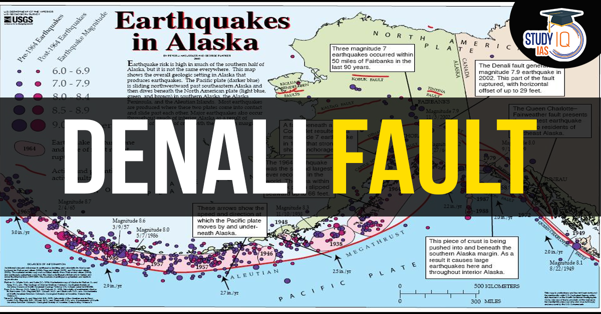
About Denali Fault
- Denali fault is a major intracontinental dextral (right lateral) strike-slip fault located in the southern half of Alaska in the Alaska Range.
- It extends from northwestern British Columbia, Canada to the central region of the U.S. state of Alaska.
- It is located on the boundary between the Pacific and North American tectonic plates, where the Pacific Plate is subducting beneath the North American Plate.
About Fault lines
- A fault is a fracture or zone of fractures between two blocks of rock. It is a line on the surface of the Earth that marks where two sides of a fault meet.
- Faults allow the blocks to move relative to each other. This movement may occur rapidly, in the form of an earthquake – or may occur slowly, in the form of creep.
Key Features of Denali Fault
- Seismic Activity: The Denali Fault is highly active and has been the source of significant earthquakes, such as the 2002 Denali earthquake (magnitude 7.9), one of the largest recorded in North America.
- Geological Importance: It marks the boundary between different crustal blocks, influencing the region’s topography and geological development.
- Hazard Potential: The fault poses a significant earthquake risk to communities and infrastructure in Alaska, particularly near its western segments.
The Denali Fault not only contributes to Alaska’s dynamic geology but also serves as a critical area for seismic research and hazard mitigation efforts.


 Places in News for UPSC 2025 for Prelims...
 Harnessing Spiritual Aastha for River Re...
 Rare Earth Elements, Metals, Magnets, Ap...


