Context: ISRO has estimated that India’s wheat production from eight major wheat-producing states will reach 122.724 million tonnes as of March 31, 2025, by using advanced satellite-based remote sensing technologies.
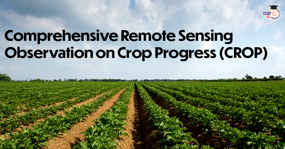
Comprehensive Remote Sensing Observation on Crop Progress (CROP)
- Comprehensive Remote Sensing Observation on Crop Progress (CROP) is a semi-automated and scalable framework developed by ISRO’s National Remote Sensing Centre (NRSC).
- It provides a real-time view of the sowing, growth and harvest progress of crops, especially wheat during the Rabi season.
- It uses data from Multiple Satellite Data Sources:
- EOS-04 (RISAT-1A) – Synthetic Aperture Radar (SAR)
- EOS-06 (Oceansat-3) – Ocean and terrestrial observation
- Resourcesat-2A – Multispectral imaging (optical data)
- The eight primary wheat-growing states covered by the ISRO study are Uttar Pradesh, Madhya Pradesh, Rajasthan, Punjab, Haryana, Bihar, Gujarat and Maharashtra.
 Amazon’s Project Kuiper Gains Momentum...
 National Supercomputing Mission (NSM)
 SIPRI Report on Global Arms Spending and...