Table of Contents
Context: Over 1/3 of India’s coast faces erosion. This was revealed in a study by the National Centre for Coastal Research (NCCR) and shared by Union Minister Ashwini Kumar Choubey.
National Centre for Coastal Research (NCCR)
- Nodal Ministry: Ministry of Earth Sciences (MoES), Government of India.
- Located in: Chennai, Tamil Nadu.
- Conduct multidisciplinary research on:
- Marine pollution
- Coastal processes and hazards
- Coastal habitats and ecosystems
- Capacity building and training
- Key Activities:
- Conducting research on coastal erosion, sea level rise, and other coastal hazards.
- Monitoring and assessing the health of coastal ecosystems.
- Developing and implementing coastal management strategies.
- Providing technical assistance to government agencies and stakeholders.
- Capacity building and training programs for coastal scientists and managers.
We’re now on WhatsApp. Click to Join
Study by the National Centre for Coastal Research (NCCR)
- Andhra Pradesh, out of 116 beaches examined, 35 show signs of erosion, while the remainder exhibit accretion.
- Goa’s coastal study, encompassing 50 beaches, indicates that 22 are eroding and 28 are accreting.
Beaches of States Experiencing Erosion
- Maharashtra: 21 out of 31 beaches(surveyed).
- Kerala: 13 out of 22 beaches.
- Tamil Nadu: 9 out of 21 beaches.
- Karnataka: 13 out of 18 beaches.
Overall analysis
One-third (33.6%) is prone to erosion, approximately a quarter (26.9%) is growing (accretion), and the remaining portion (39.6%) is relatively stable.
What Is The Erosion Of The Coastline?
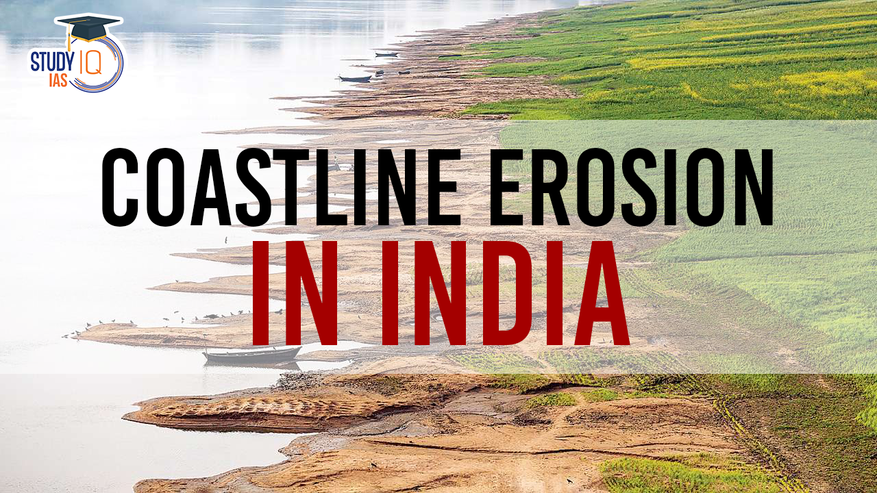
Coastal erosion is the gradual wearing away of land along the coast by waves, tides, wind, storms, and sea level rise. It can cause loss of land, damage to infrastructure, and salinization of freshwater resources.
What Are The Types Of Coastal Erosion?
Hydraulic Action:
- Process: Waves crash against cliffs and rock formations, compressing air in cracks and crevices. This compressed air expands rapidly, causing the rock to fracture and break away over time.
- Appearance: Usually creates smooth, rounded cliffs and exposes bedrock.
Abrasion:
- Process: Waves carry sand, pebbles, and other abrasive materials that grind against the coastline, wearing it down over time. This process is often likened to sandpaper.
- Appearance: Creates smooth, polished surfaces on rocks and cliffs.
Attrition:
- Process: Rocks and pebbles carried by waves collide with each other, breaking down into smaller and smoother pieces. This process reduces the size and effectiveness of the abrasive material, slowing down the erosion rate.
- Appearance: Creates rounded pebbles and cobbles on beaches and in the surf zone.
Solution:
- Process: Certain types of rock, such as limestone and chalk, are slowly dissolved by the acidic seawater. This process is most significant in areas with high wave energy and acidic water.
- Appearance: Creates irregular and pitted surfaces on rocks and cliffs.
Corrasion:
- Process: Waves and currents carry sand and other abrasive materials that grind against the base of cliffs and rock formations, undercutting them and causing them to collapse.
- Appearance: Creates caves, arches, stacks, and other landforms along the coastline.
Mass Movement:
- Process: Large sections of cliffs or other coastal features can collapse due to gravity, erosion, or human activities. This type of erosion can be sudden and catastrophic.
- Appearance: Creates landslides, slumps, and other sudden changes in the coastline.
Biological Erosion:
- Process: Animals and plants, such as burrowing sea creatures and marine algae, can contribute to coastal erosion by weakening rocks and cliffs.
- Appearance: Creates small holes and crevices in rocks and cliffs.
What Are The Factors Causing Coastal Erosion?
Natural Influences on Coastal Erosion
- Wave and Wind Action: Waves and winds significantly shape coastlines. When sediment supply to a beach is disrupted due to littoral drift or sea-level rise, combined with the constant impact of waves, severe erosion can occur.
- Sediment Supply Variability: Changes in the amount of sediment delivered to coastlines by rivers can affect erosion rates.
- Sea Level Rise: Rising sea levels, especially in areas with finer sediments, exacerbate shoreline erosion compared to regions with coarser sediments.
- Subsidence: This phenomenon, where the ground in a region gradually sinks, also contributes to coastal erosion, with varying rates depending on the cause of subsidence.
- Severe Weather Events: Storms, tidal surges, and cyclones that raise sea levels abnormally high can lead to significant erosion.
Human-Induced Erosion:
- Coastal Constructions: Projects like ports, harbours, and coastal defence structures, as well as dredging and sand mining activities, impact sediment transport.
- Infrastructure Development: Building on sand dunes or reclaiming land for housing affects coastal processes and sediment stability.
- Breakwaters and Groynes: These structures, designed to protect against tides and currents, can interrupt longshore sand transport, leading to erosion in some areas and accretion in others.
- Sand and Gravel Mining: This practice depletes beaches and surf zones of sediment, leading to erosion.
- Coral and Mangrove Destruction: Activities that damage these natural barriers, like coral mining, reduce shoreline protection and sediment stability, causing erosion.
- Dredging Activities: Dredging harbours and navigation channels can disturb sediment equilibrium, leading to erosion.
Climate Change Impacts:
- Increased Vulnerability: Rising sea levels and changes in storm frequency/intensity due to climate change make coasts more vulnerable to erosion.
- Ocean Acidification: The increase in atmospheric CO2 leads to more acidic oceans, impacting coastal and marine ecosystems and contributing to coastal changes.
- Salinization: Low-lying coastal areas are at risk of salinization due to seawater intrusion, both on the surface and in groundwater sources.
What Are The Indian Initiatives For Coastal Management?
- Integrated Coastal Zone Management (ICZM) Project: Supported by the World Bank, this project focuses on balancing development with the protection of vulnerable ecosystems.
- It involves the mapping, delineation, and demarcation of hazard lines and ecologically sensitive areas along India’s mainland coast, as well as setting up a National Center for Sustainable Coastal Management.
- Enhancing Climate Resilience of India’s Coastal Communities: This United Nations Development Programme (UNDP) initiative aims to assess the vulnerability of the coast, conserve and restore coastal ecosystems, and integrate climate-adaptive livelihoods to enhance the resilience of vulnerable coastal communities.
- It also focuses on strengthening governance and institutional frameworks for climate-resilient management of coastal areas.
- Coastal Regulation Zone (CRZ) Notification 2019: Issued under the Environment Protection Act, 1986, the CRZ Notification classifies coastal areas into different zones to manage and regulate infrastructure activities.
- The National Coastal Zone Management Authority (NCZMA), State/Union Territory Coastal Zone Management Authorities (SCZMAs/UTCZMAs), and District Level Committees (DLCs) are responsible for its implementation.
- National Centre for Sustainable Coastal Management (NCCR): This centre aims to promote integrated and sustainable management of coastal and marine areas in India for the benefit of traditional coastal and island communities. It plays a crucial role in providing technical support for the design of coastal protection measures and the preparation of Shoreline Management Plans.
- Schemes for Forest and Tree Cover Conservation: The Government of India implements schemes for increasing forest and tree cover, including mangroves in coastal areas, to prevent erosion.
- For example, Conservation and Management of Mangroves and Coral Reefs, which is implemented on a 60:40 fund-sharing basis between the Center and the States.
- Shoreline Change Atlas Project: The Coastal Management Directorate of the Central Water Commission, in collaboration with the Space Applications Centre (ISRO), Ahmedabad, is working on the “Shoreline Change Atlas of the Indian Coast”.
- This project maps and analyses changes along India’s coastline, providing critical data for coastal management.
- Coastal Vulnerability Index (CVI) Atlas: Prepared by the Indian National Centre for Ocean Information Services (INCOIS), the CVI Atlas offers a detailed assessment of the vulnerability of India’s entire coastline.
- This tool is vital for identifying areas at risk and planning appropriate protective measures.
- Coastal Management Information System (CMIS): This initiative focuses on gathering data about coastal processes, which is essential for planning and implementing effective coastal protection strategies.
- Flood Management Scheme: Part of the Ministry of Jal Shakti, this scheme includes anti-sea erosion initiatives, highlighting the government’s commitment to addressing coastal erosion and related issues.
What Are The Methods For Coastal Protection?
- No Development Zones (NDZ): Specific zones along the coast are designated as NDZs to protect them from encroachment and erosion. This means no construction or development can occur in these areas.
- Hard-Erosion Control Methods: These are typically more permanent solutions. Structures like seawalls and groynes fall under this category, acting as semi-permanent barriers against erosion.
- However, they are subject to normal wear and tear and may require refurbishment or rebuilding. Seawalls generally have a lifespan of around 50–100 years, while groynes last about 30–40 years.
- Soft Erosion Control Strategies: These methods are considered temporary measures to slow down erosion.
- Techniques such as sandbagging and beach nourishment fall under this category. They are not designed as long-term solutions.
- Beach scraping or bulldozing is another method, where artificial dunes are created to protect structures or foundations.
- Living Shorelines: This approach uses natural elements, including vegetation, to combat coastal erosion.
- Living shorelines, which can include marshes and oyster reefs, not only act as natural wave barriers but also enhance biodiversity, improve water quality, and provide habitats for fisheries.
- They are known for their resilience against storm impacts.
- Relocation: This involves moving infrastructure or housing away from vulnerable coastal areas.
- Relocation takes into account the natural processes of sea-level rise and erosion, and the extent of relocation can vary based on the severity of erosion and the characteristics of the landscape.


 Indus Water Treaty 1960 Suspended by Ind...
 5 Years of SVAMITVA Scheme and Its Benef...
 Places in News for UPSC 2025 for Prelims...


